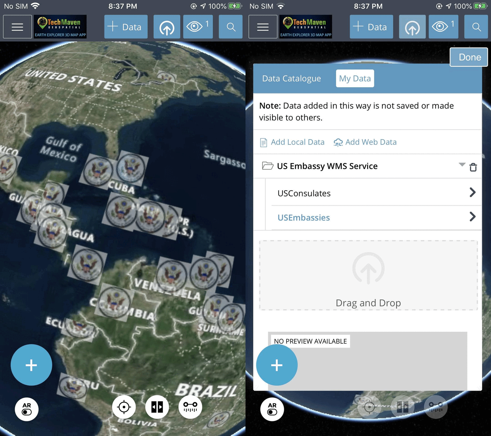
OGC WMS (Web Map Service) URL Support
Our platform supports OGC WMS URLs, enabling you to add web maps via:
1. Menu
2. JSON config file (for additional layers and data)
How it works:
– WMS delivers PNG images for the bounding box in your view.
– Panning or zooming triggers a new image request (getmap request), differing from WMTS’ gettile request.
– Many WMS services utilize cached tiles (via GeoWebCache or similar) to enhance performance.

