Earth Explorer Windows 3D Map Introducing Cross-Platform Mapping Solution
Explore the World Offline on Windows, Linux, and MacOS
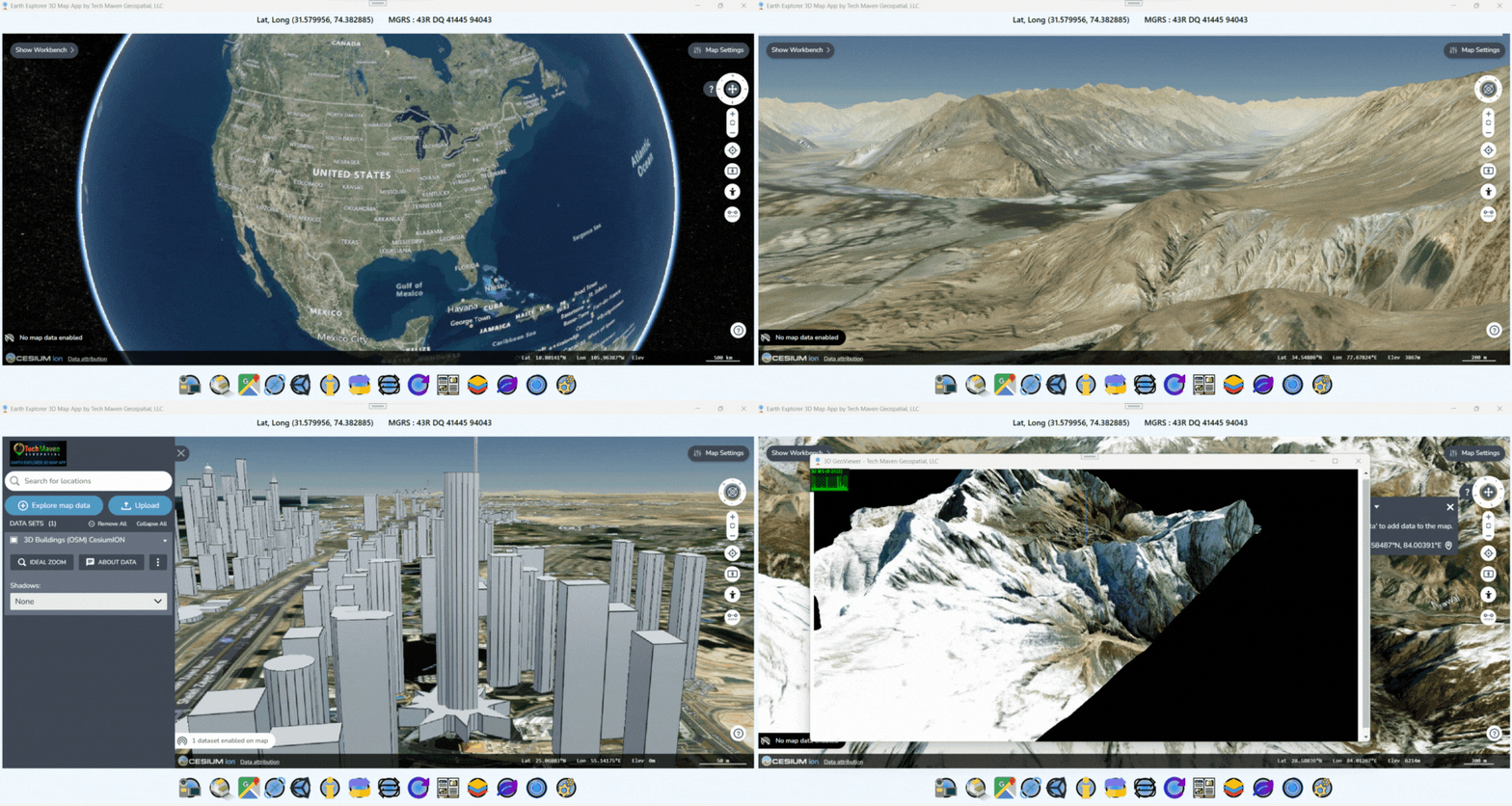
Offline Mapping
Explore Maps Without internet Connectivity Cross-Platform Compatibility:
Windows, Linux, MacOS (Intel & M Series/Apple Silicon)
- Dynamic Raster Tiles: Fast and seamless map rendering
- OSM Vector Tiles: Customizable Map Styles
- Geopackage Vector Features: Enhanced Map Data
Purchase includes one install
If you are interested in a license key valid for multiple installs or multiple apps
please contact us →

Cesium Map
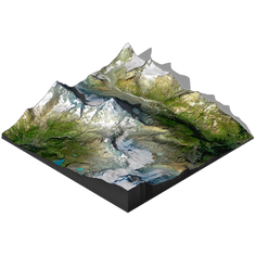
3D Terrain

Cesium 3D Buildings

Load Catalogs
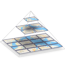
Load Vector Tiles

Geo Location
